Geology in South Iceland
The southern and Snaefellsnes volcanic areas are clear examples of the so-called Flank Zones.
Katla is one of the largest calderas of the country, 700 metres deep and 110 kilometres square. It is situated at the southern end of the Eldgja volcanic system. During eruptions, tephra mixed with water has three escape routes from the volcanic areas, through the so-called Entugja gorge down to the outwash plain Markarfljotsaurar, under the Solheimajokull glacier tongue as well as down the Myrdal’s sander outwash plain. Katla has only produced lahar floods, up to 1 km³ in volume. The magma chamber under the volcano is estimated to be at the depth of 1-1½ kilometres. Its highest part therefore might lie above sea level, which makes it the shallowest one in the country. It contains 30-40 km³ of magma.
The Westman Islands. The main structure of the archipelago is alkaline rock, similar to the structure of the Snaefellsnes peninsula. After the Surtsey eruption 1963-1967, and the Heimaey eruption in 1973, scientists have come to the conclusion, that igneous rock weathers quickly.
Transform Fault
The earthquake zone in the southwestern lowlands is a so-called Transform Fault, which is about 80 km long and 10 km wide. The northern edge of the fault moves west and the southern one to the east. This movement creates small crevices in the centre of the zone, and small mounds are created between their ends. This development is very obvious in the landscape, such as in the Skeid County. Road # 1 lies through a part of this zone, which stretches between the Olfus County and the Selsund area near Mt. Hekla. The most recent earthquake activity started around 4 o’clock in the afternoon of the 17th of June 2000 and has damaged a few houses in the Southwestern Lowlands. On the 21st another equally strong, but shorter earthquake struck the same area. Its epicentre was south of Mt. Hestfjall, near the crossing of road #1 and the Skeid road. This one caused much less property damage. The scientists are still waiting for continuation. There have been no casualties.
Budarodin is a part of a much longer row of moraines pushed up by the Ice Age glaciers about 9500 years ago.
The Thjorsa Lava Field is about 7800 years old, 920 kilometres square, and 21 cubic kilometres in volume. It is the largest lava field created during the last 10.000 years on the earth and was emitted from craters in the Heljargja Area in the Interior.
Dyrholaey is the southernmost point of the country. It was created in a similar way as the Island Surtsey and was attached to the mainland with alluvium during the second latest warm epoch of the Ice Age. On the eastern part of the promontory, crater plugs are obvious.
Markarfljotsaurar. Before this vast alluvial plain was gradually created, a big and 250 m deep bay cut in between the mountains. Two freestanding hillocks, Stora- and Litla Dimon, were islands.
The Grimsnes Lava Field was created during an extended volcanic period. Ten lava fields were created at the time. One of the craters, Kerid, looks like an explosion crater, but is most probably a slag crater, which collapsed when the magma subsided at the end of the eruption. Despite its small lake, it is not one of the Maar-craters.
Eyjafjallajokull erupted the last time 2010 and 1821-1823 and flooded the alluvial plain Markarfljotsaurar.
Geologically interesting places and areas in the South:
- Thingvellir
- Fagurholsmyri
- Fjardargljufur
- Flaajokull
- Geysir
- Hveragerdi
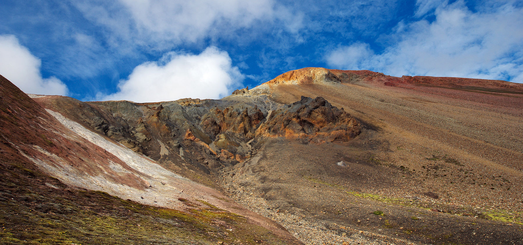
- Landmannalaugar
- Thjorsardalur
- Vatnajokull
- Gullfoss
- Hjorleifshofdi
- Ingolfsfjall
- Kerid
- Kirkjugolf
- Kviarjokull
- Lakagigar
- Landbrotsholar
- Lomagnupur
- Myrdalsjokull
- Oraefajokull
- Skaftafell
- Skeidararjokull
- Skeidararsandur
- Skogasandur
